mapplus alps - rebuilt from scratch
During Juli and August 2020, mapplus alps has basically been recreated, mainly all Points of Interest (POI) were replaced or updated.
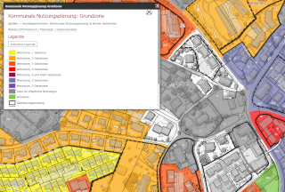
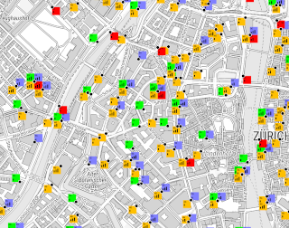
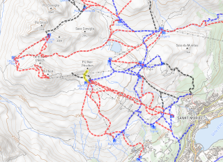
- There are now about 150 themes available, details see below
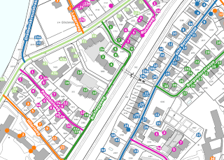
- Around 80% of the POIs are now based on OSM (OpenStreetMap) . We have seen that OSM is the most reliable and up-to-date data source. In addition, everyone can participate in creating or updating map features and help improve the quality.
- POIs that are less subject to change (such as ruins, castles, lakes, etc.) have been migrated from the old version
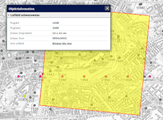
- Open Data topics from third parties, such as the Federal Government, Post, Mobility, Swiss Rail etc. were integrated and where applicable automatically updated at least once a month
- All POI topics have been redefined as WMS (Web Map Services) . Thanks to that map display is much faster and larger areas can be shown.
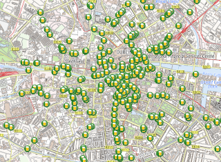
- For OSM-based POIs, updates take place weekly, this throughout Europe (excluding Northern Scandinavia and parts of Eastern Europe)
- The search funktionality is based on about 10'000'000 objects!
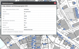
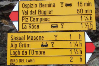
- Editing options are now only available for hiking signs, fireplaces and hiking trails. For editing of OSM based layers: become a mapper! Click here and choose Start Mapping ... No worries, it's really straight forward.
- Last not least: all legends and the online help have been updated, this in four langauges: en, de, fr, it
In summary it can be said: The data on mapplus alps has now become more up-to-date, more complete and more reliable. In addition, most topics offer more detailed information.
mapplus europe
mapplus europe is based on "pure" OpenStreetMap (OSM), the only additional data is from the Copernicus Project (EU DEM for relief and heights, Corine for landuse). The data is at least updated quarterly. Some key figures:
- Among other things: 100 million "Places" , 50 million road sections, 25 million polygons (land use), 4 million river sections
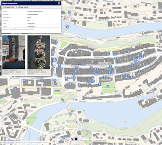
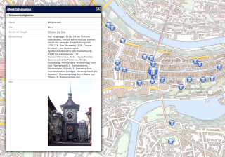
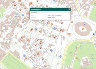
- Extracted are about 80 POI categories as well as objects such as individual trees and buildings, for example:
- 850'000 gastronomy companies, restaurants classified according to cuisine (the five most common categories, first and foremost Italian ...)
- 175'000 accommodations
- 1.27 million public transport stops
- 1 million park benches
- 7.2 million individual trees
- 150 million buildings
- Last but not least: 80'000 public toilets ...
Why mapplus alps and mapplus europe?
What are the differences between mapplus alps and mapplus europe?
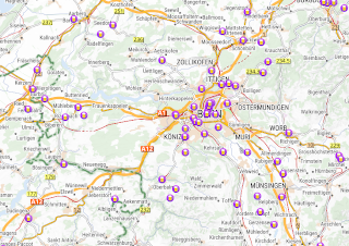
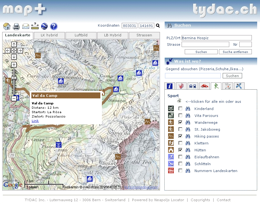
- www.mapplus.ch (what we now call "mapplus alps") was born in 2007 (!), as a
follow up of the defunct swissinfo gis - see image below (TYDAC News December
2007). The first releases were Switzerland centric, extended over time to the
alps region. mapplus alps however, still focuses
mainly on Switzerland.
- "mapplus europe" (eur.mapplus.ch) was created early 2020 - mainly beacuse we wanted to see if we could manage real big data (as you see above: millions and millions of objects). An update of mapplus europe takes about a week of data processing.
- mapplus europe covers all of Europe, excluding Northern Scandinavia and parts of Eastern Europe, mapplus alps roughly the alpine ridge
- mapplus europe is based purely on OSM data (except for relief and heights) and processed in Mercator projection (like Google Maps). We have explicitely only used OSM data, not at least to see the differences to the extended data of mapplus alps (as how complete is Switzerland digitized on OSM?)
- mapplus alps is based on enriched OSM data, especially for Switzerland, partly also for Austria and Italy. mapplus alps is processed in Swiss projection (LV95)
Our conclusion on OSM: the quality of the data and the completeness surprised us. We are thrilled!